Understanding the Issues of Sparkill Creek Watershed

jD in the creek
Facts about the Sparkill Creek
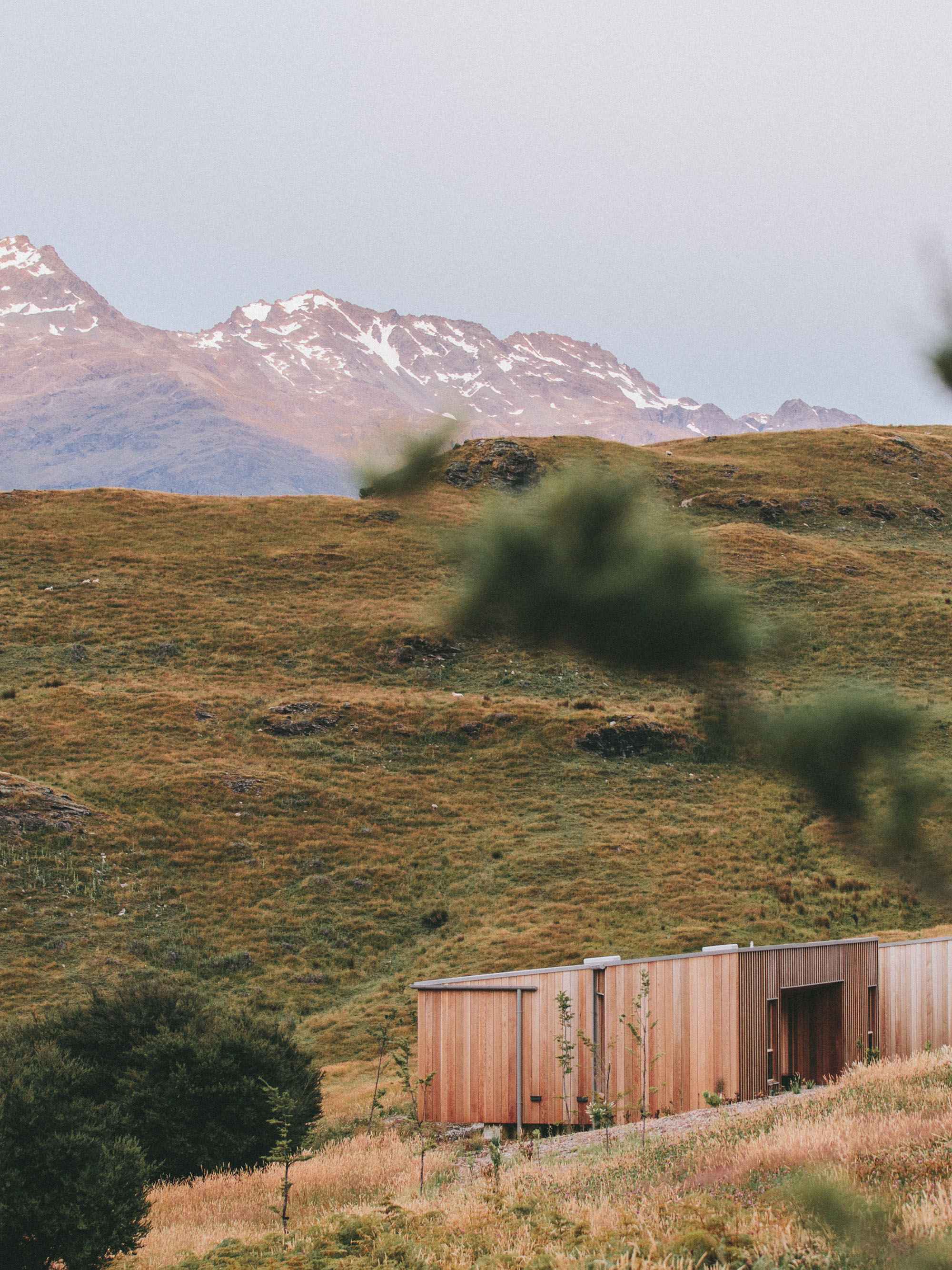
Sparkill Creek is a tributary of the Hudson River in Rockland County, New York and Bergen County, New Jersey in the United States. The stream’s headwaters are located in the Palisades at the northern end of the watershed. It is mostly urbanized, although there are pockets of forest. Clausland Mountain run-off and small tributaries feed the creek as it flows through the hamlets of Blauvelt, Orangeburg, and Tappan, New York, the borough of Northvale, New Jersey, the hamlets of Palisades and Sparkill, and finally the village of Piermont, New York before emptying into the Hudson River at Piermont Marsh, a unique research and recreational resource covering over 1,000 acres.

Flooding and stormwater issues impact the health of our watershed.
Floodwater, Stormwater and Other Threats
The creek is rich in history, beauty and ecological significance, however the watershed has faced threats from Rockland County's population boom following the construction of the Tappan Zee Bridge which has affected the health of the creek. The creek's flooding, as well as the pollution run off have caused problems for the areas through which it flows. Floodwater and stormwater are among the bigger threats to our our watershed.
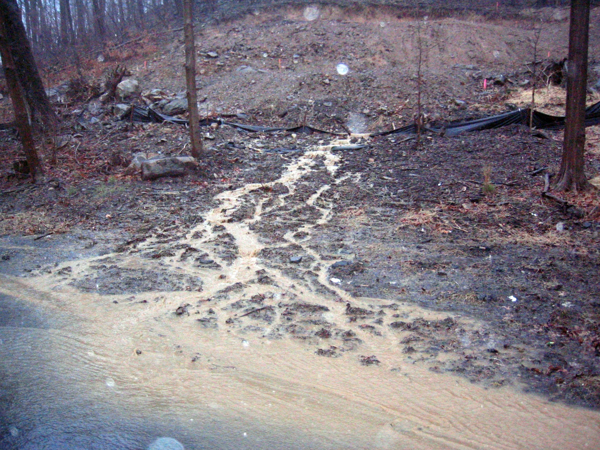
Heavy siltation from flooding is the number one harmful impact on the Sparkill Creek and Rockland County streams.
Flooding leads to increased erosion of stream banks and siltation. Heavy stormwater rips out stream banks and cause high speed water flow.
Siltation buries life of the stream, aquatic insects, fish, amphibians, plants, algae are all suffocated by stormwater siltation.
Stormwater flows lawn products and chemicals into the creek.
Pollution and Contamination

LocalIZED FLOODING
The Sparkill Creek Watershed is heavily developed and building continues. Storm water flow can destroy vegetation which may add to the levels of silt in the creek, Paving to the edge of the creek allows storm water to dash into the creek with no buffering. Lawns the begin at the edge of the creek offer no riparian buffer protection which increases flooding and allows lawn products to flood into creek.
Garbage flows into streams
Dumping drains into streams
Lawn cultivation with fertilizers, pesticides and herbicides impacts the creek.

Everyone can help monitor our creek
Sampling Discoveries
Exploratory sampling conducted near the mouth of the Sparkill Creek in 2011 showed that the Sparkill Creek suffers from extremely high levels of bacterial contamination. These results galvanized our community group to organize and investigate further by conduction ongoing sampling throughout the watershed.
The Sparkill Watershed sampling program was one of the first citizen science partnerships undertaken by Riverkeeper, and continues to serve as a model for other watersheds. Click here to see where our samples are taken.